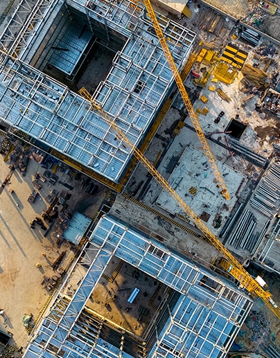
Drone mapping and inspection services are a powerful new tool for site inspections. A thorough mapping flight allows you to capture hundreds or even thousands of high-resolution images of all four vertical facades of a structure.
Drone mapping gives insurance companies a fast, easy way of accurately documenting the scene, preserving critical details while allowing the process of clean-up and reconstruction to begin as quickly as possible.
With the use of drones, you’ll obtain the most recent, highest-quality imagery of your building to make timely and accurate decisions. With the integration of thermal data, our clients can have insights that aren’t visible to the naked eye, detecting issues earlier, saving time and expense.
Inspections services include:
Matterport technology utilizes unique cameras to create an interactive 3D representation of a property.